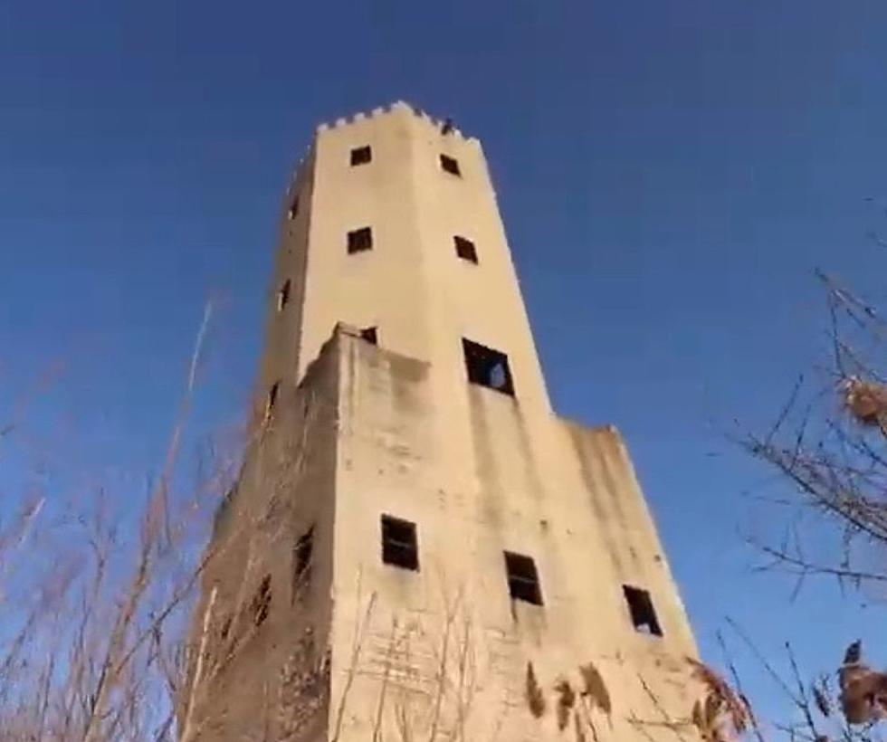
Can You ID These Eastern Iowa Locations From Aerial Photos?
If you're a native to Eastern Iowa, it's probably pretty easy for you to recognize our local landmarks and hotspots. You can probably even envision some of them right now. These places can be easily identified from your natural ground view, but what about from a birds-eye perspective?

We grabbed some aerial photos from Google Maps of some well-known places in the Corridor. If you're a pilot or have the magical power of flight, these may come easy to you. Although, it's more likely that you'll struggle a bit to identify these Eastern Iowa locations from the aerial photos alone. But, you never know, we could be wrong. Take a gander at the below pictures and see how many Eastern Iowa locations you can name. We were even nice and gave you some hints. If you want to check if you're correct, just click 'ANSWER' next to the hints. But, don't cheat! Try your best to name them all on your own. Good luck!
Can You ID These Eastern Iowa Locations From Aerial Photos?
So, how did you do? Was it easy to identify these Eastern Iowa places (without looking up the answers) or did you struggle a bit? Let us know in the comments. One thing is for sure, these places certainly look different from this point of view.
[H/T Pantagraph]
LOOK: Iowa's 12 Smallest Towns That You Could Blink and Miss
More From 104-5 KDAT
![The Top Restaurants in Eastern Iowa According to Yelp [PHOTOS]](http://townsquare.media/site/675/files/2024/02/attachment-Untitled-design-2024-02-26T091532.770.jpg?w=980&q=75)

![Big Eastern Iowa Events Happening in March 2024 [LIST]](http://townsquare.media/site/675/files/2024/02/attachment-Untitled-design-2024-02-23T063204.266.jpg?w=980&q=75)

![Eastern Iowans Name Their Favorite Area Bloody Marys [PHOTOS]](http://townsquare.media/site/675/files/2024/01/attachment-Untitled-design-92.jpg?w=980&q=75)


