

UPDATED: Major Flooding Forecast For Cedar Rapids
[UPDATED CREST PROJECTION AS OF SATURDAY, SEPTEMBER 24 IS BELOW)
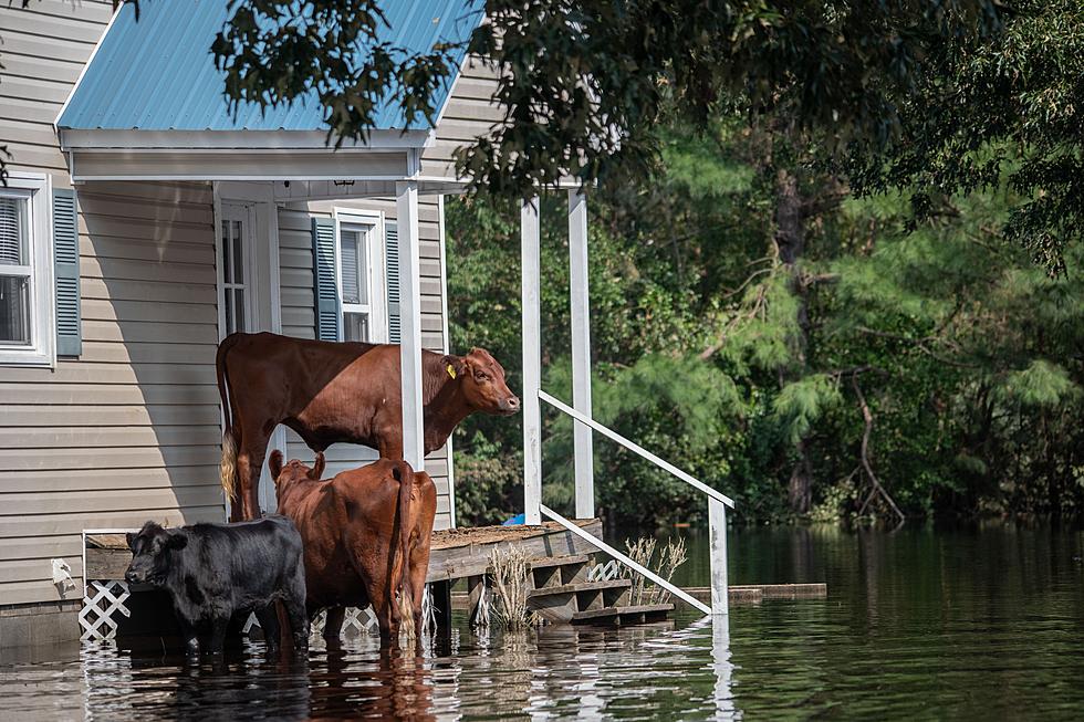
The Cedar River in Cedar Rapids is under 10 feet now but torrential rainfall Wednesday night in the river's basin is creating concerns downstream.
Some areas of northern Iowa received as much as eight inches of rain Wednesday evening in just a few hours. Flash Flood warnings covered at least part of eight Iowa counties Wednesday night, and the threat for more heavy rain isn't over.
The National Weather Service in Des Moines expects the possibility of heavy rain right through Thursday night and the rain that's already fallen and what's expected to fall in the next 24 hours are creating large river concerns.
Updated: The Cedar River in Cedar Rapids was at just 9.41 feet Thursday morning and is expected to fall the next several days before taking a large leap upward beginning late in the weekend.
As of Saturday afternoon, September 24 it is forecast to crest at 24.0 feet Tuesday morning, which would be the second-highest level since records have been kept. Here are the current top five:
- 31.12 ft on 06/13/2008
- 20.00 ft on 06/01/1851
- 20.00 ft on 03/18/1929
- 19.66 ft on 03/31/1961
- 19.27 ft on 04/04/1993
Keep in mind the river's forecast levels are based not only on what rain has already fallen but what is still in the forecast.
What parts of Cedar Rapids are affected when the Cedar River gets that high? This graphic shows river inundation of the community if the river were to reach 24 feet. It is obviously not a picture any of us want to see. A closer look is available here.
Keep in mind, this is still a forecast and not a guarantee. It's not time to panic, but it IS time to prepare.
[via National Weather Service/DSM, National Weather Service/QC and NWS/QC]
More From 104-5 KDAT
![5 Times Iowans Were Featured on ‘Unsolved Mysteries’ [WATCH]](http://townsquare.media/site/675/files/2022/11/attachment-twins.jpg?w=980&q=75)


![Flood Warnings Posted For Several Northeast Iowa Rivers [PHOTOS]](http://townsquare.media/site/725/files/2021/08/attachment-waucoma-campground-2.jpg?w=980&q=75)