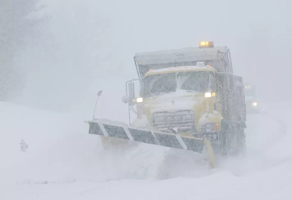
Winter Storm Watch For Much Of Eastern Iowa Beginning Late Sunday
A Winter Storm Watch has been issued for much of the KHAK listening area for late Sunday into Monday morning, and the big danger from this storm could be ice.
The National Weather Service says the system that will hit Eastern Iowa late Sunday could bring a snow/sleet mix, an inch or so of snow, and the potential for ice. It all depends on temperatures hovering right around the freezing mark when the precipitation hits. Ice accumulations could be up to a quarter inch would affect trees and some power lines. Fortunately, winds are not expected to be much of an issue.
Needless to say, travel could be very hazardous Sunday night into the Monday morning commute. We'll keep track of the storm and have the latest updates as they become available.
[via CBS2]
More From 104-5 KDAT


![What is ‘Rime Icing?’ [Photo Gallery]](http://townsquare.media/site/725/files/2021/01/Untitled-design-1.jpg?w=980&q=75)