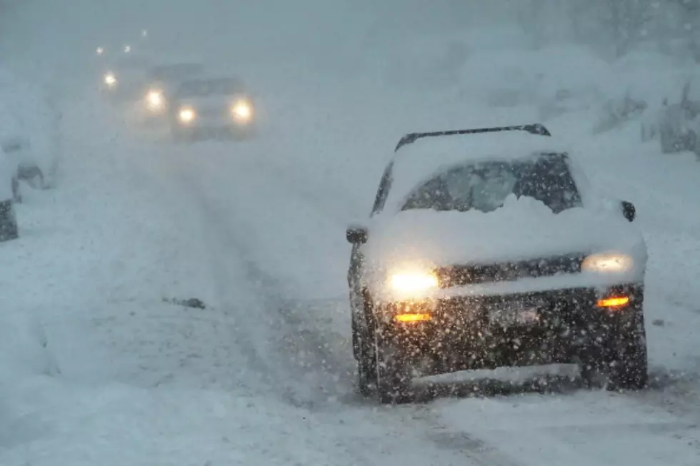
Cedar Rapids’ First Snowfall Might Be Later Than Ever
Nevermind the chances of having a white Christmas. If Cedar Rapids goes much longer without a significant amount of the white stuff altogether, we will be approaching the latest first snowfall on record, according to KCRG.
We saw a brief dusting of it recently, of course. But not enough for it to stick.
When you consider "measurable snow" as a tenth-of-an-inch or more, here are the key dates:
- November 18: the average first "measurable" snowfall (.10 inches)
- January 6: the latest first "measurable" snowfall (.10 inches), in 1913
- November 25: the average first accumulation of a half-inch of snow
- December 2: the average first accumulation of a full inch of snow
- February 11: the latest date to receive the first full inch or more of snow, in 1944
I'm sure some people would love waiting until February or later, or never, for significant snow. Don't count on that, but it has been a while.
Most recently, the longest we've waited for measurable snowfall was 2012, when it came on December 20. There are flurries in the forecast in the coming days, with snow chances in the forecast for mid-to-late next week, so keep your fingers crossed if you've been waiting.
[Via KCRG]

![5 Times Iowans Were Featured on ‘Unsolved Mysteries’ [WATCH]](http://townsquare.media/site/675/files/2022/11/attachment-twins.jpg?w=980&q=75)


